The layout of the ancient city of Akhetaten captured by satellite.
450 km down, and 3,360 years earlier (ca. 1346 B.C.) the pharaoh Akhenaten founded a shiny new capital on a starkly beautiful, yet solitary crescent-shaped plain, 280 km north of Thebes.
He called the place ‘Akhetaten’, meaning ‘Horizon of the Aten’. Far from the power of the Theban priesthood of Amun, it’s primary function was to host the worship of the king’s new favourite god, Aten.
Akhenaten had abandoned the gods and priests of Karnak in favour of a formerly fairly minor aspect of the sun. His religious revolution was only one man’s vision however. After Akhenaten's death, his son, Tutankhamun, not sharing his father’s passion, moved the royal court back to Thebes.
The city was abandoned a few years after Akhenaten’s death and never built upon. Despite being extensively quarried during the reign of Ramesses II, great details of its internal plan have been preserved beneath the sand.
Now the short-lived capital has been mapped with high resolution satellite imagery by the Belgian University of Leuven.
Nearly two centuries of excavation work have previously unearthed the remains of temples, chapels, tombs and workshops, but now the whole layout has been revealed, including its streets, a harbour, ramps and transportation paths from the mines, as well as areas used for burials.
No doubt the map with help Egyptologists on the ground direct their efforts and lead to future discoveries.
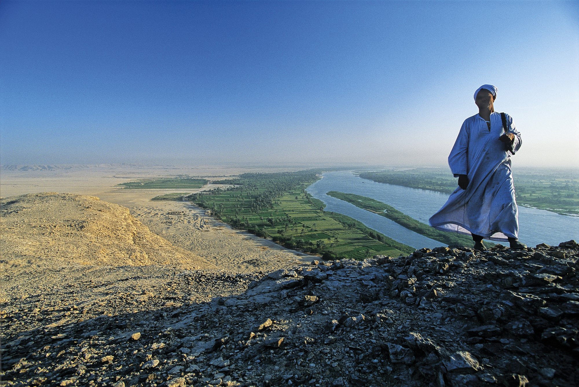
This photo of Akhenaten’s Amarna plain is by photographer Kenneth Garrett.
